Why OSINT Matters More Than Ever in Multi-Sided Conflicts
Open-source intelligence has become a front-line verification requirement rather than an analytical supplement. In conflicts involving multiple state and non-state actors operating across overlapping theatres — as in the 2026 Iran-Gulf Crisis — no journalist or monitor has physical access to all contested sites. The information gap is filled either by unverified claims from interested parties or by systematic analysis of the open-source data that can be extracted from satellite archives, commercial shipping trackers, aviation databases, and the vast quantity of video posted to social platforms.
The reporters who integrated OSINT into their workflows early have demonstrated, repeatedly, that it is possible to locate strikes, count vessels, identify equipment, and estimate timelines from publicly available data faster than official briefings arrive — and with independent evidentiary weight that anonymous sourcing cannot provide. The discipline is no longer optional for journalists covering high-tempo conflict zones.
For a comprehensive overview of how these methods integrate into daily coverage, applying open-source intelligence to live conflict reporting lays out the workflow in full.
Satellite Imagery: What Free Tiers Give You and Where They Fall Short
Commercial satellite imagery has changed what is verifiable. Platforms with free tiers (including Planet Labs' public previews, Copernicus Open Access Hub, and Sentinel-2 archive imagery via Google Earth Engine) give journalists and monitors access to regular, relatively high-resolution coverage of most conflict-relevant areas. The practical capabilities include: detecting large-scale infrastructure destruction, identifying vehicle concentrations and convoy movements, observing changes in port or airfield activity, and confirming or refuting official claims about the extent of controlled territory.
The limitations are significant and worth internalising before publication. Free tiers are constrained by revisit frequency. Some areas receive one clear image per week or less, which means that events happening between passes are invisible to the archive. Temporal resolution is also limited: cloud cover regularly blocks imaging of areas where coverage is most urgently needed. Resolution constraints mean small-unit tactical movements, individual weapons deployments, and casualty scenes are not reliably discernible without commercial full-resolution tasking, which requires budgets that most newsrooms do not have.
Reading satellite imagery as a verification tool provides a more detailed breakdown of how to read what you are looking at, including the specific confidence thresholds that analysts apply to different claim types.
Video Geolocation: Four Steps from Upload to Confirmed Coordinates
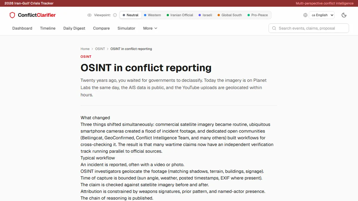
Video geolocation (confirming the real-world location where a piece of conflict footage was filmed) is one of the highest-value OSINT skills and one of the most teachable. The four-step process runs as follows.
First, extract environmental landmarks from the video: building silhouettes, road markings, vegetation type, terrain shape, visible signage even in partial form, and any identifiable infrastructure such as minarets, towers, or bridges. Second, generate a candidate location based on these features using available mapping tools: Google Earth, Mapillary street-level imagery, and Yandex Maps often provide complementary angle coverage for regions where Western mapping is limited. Third, attempt to match shadow angle and length to the claimed time of day using solar position calculators, which can either corroborate or contradict a stated timestamp. Fourth, triangulate the result: can the same location be confirmed from a second independently filmed clip, or from satellite imagery taken at a date consistent with the claim?
Each step generates a confidence level rather than a binary confirmation. A responsible journalist documents which steps were completed, what level of confidence each yielded, and what would change the assessment.
Maritime and Aviation Tracking for Shipping and Airspace Incidents
Two of the most significant categories of Iran-Gulf incidents involve maritime vessels and military or civilian aircraft. Both are trackable through open databases, though with important gaps.
Automatic Identification System data (AIS) is broadcast by most commercial vessels over 300 gross tonnes and is aggregated by platforms including Marine Traffic and Vessel Finder. AIS data gives real-time and historical position tracks, enabling journalists to independently establish where a vessel was at a claimed time, whether a vessel that went dark near a reported incident was in the area, and whether shipping lane usage patterns have changed in response to perceived threat levels. The limitation is that vessels can switch off their AIS transponders, and vessels suspected of sanctions evasion or operating in contested areas regularly do.
Aviation tracking via FlightRadar24 and ADS-B Exchange provides similar verification capabilities for airspace incidents. Military aircraft typically operate with transponders off or with anonymous identifiers, which limits tracking. Commercial aviation route changes, temporary airspace closures, and diversion patterns are, however, highly informative signals about how states and airlines are responding to perceived conflict risk in real time.
Structuring an OSINT Workflow Under Deadline Pressure
The most dangerous moment in OSINT is the deadline. When a significant event breaks and an editor wants a publication-ready paragraph in two hours, the temptation is to publish the most compelling available evidence with more confidence than it warrants. This is how corrections happen.
A workable deadline workflow has explicit time-boxed phases. The first twenty minutes should be dedicated entirely to triage: what categories of open-source data exist for this event, which are time-sensitive, and which can be gathered in parallel? The middle phase runs simultaneous data pulls across the relevant tool categories. The final phase before publication is a confidence audit: for each claim you are about to make, what is your highest-confidence evidence, and is that evidence strong enough to support the specific claim you are making?
Common OSINT Mistakes That Create False Confidence
The most common errors are: treating AIS data silence as confirmation of a vessel being where a party claims it was attacked (absence of a transponder signal is not location evidence); treating Google Earth historical imagery as current when it may be months old; geolocating video to a region rather than a confirmed site and publishing as though the precise location is established; and accepting a single-source satellite analysis without independent corroboration.
The Ethical Line: What OSINT You Should Not Publish
Not everything that can be found should be published. Publishing the precise geolocation of a besieged facility where civilians are sheltering could endanger those civilians. Publishing the confirmed location of a military movement before a reported operation concludes may compromise ongoing evacuations or negotiations. Identifying individuals visible in conflict footage — even when technically feasible via facial recognition — creates potential retaliation risk against private individuals who have not consented to public identification.
The test is not whether the information is publicly accessible, but whether its publication creates foreseeable harm that outweighs the editorial value of the disclosure. OSINT ethics is not a bureaucratic constraint on good journalism. It is the condition under which OSINT journalism retains public trust.