On this page
What a METAR Is and Who Produces It
A METAR (aviation routine weather report) is a standardised observation of actual conditions at an airport, issued every hour or whenever conditions change significantly enough to warrant a special observation. Unlike a forecast, a METAR describes what weather sensors and human observers measured at a specific moment.
The reports are generated by automated surface observing systems at most airports, occasionally augmented by a human observer for phenomena the sensors cannot reliably detect, like volcanic ash or certain types of precipitation. The ICAO standard that defines the METAR format means a report from an airport in Japan uses the same field order as one from Brazil or the United Kingdom, which is part of why aviation weather literacy transfers across international operations.
For a student pilot, learning to read a METAR fluently is among the most high-value skills in the early syllabus. Once the field order is memorised, extracting VFR flight conditions, ceiling height, wind direction and altimeter setting takes under a minute.
Station Identifier, Date and Time Fields Explained
Every METAR begins with the ICAO station identifier, a four-letter code that places the observation geographically. US airports are prefixed with K (KJFK, KORD), Canadian airports with C, and so on across the world's regions.
The date-time group follows immediately. The format is a six-digit block ending in Z for Zulu, which is Coordinated Universal Time. The first two digits represent the day of the month; the next four digits represent the time in hours and minutes. A report reading 121651Z was issued on the 12th at 1651 UTC. Pilots should always mentally note the observation time and compare it to the current time: a 55-minute-old METAR during rapidly changing conditions may not accurately represent what you will encounter.
Decoding Wind: Direction, Speed and Gusts
Wind is reported immediately after the date-time group. The format packages direction, speed and unit into a single string. 18012KT means the wind is from 180 degrees magnetic at 12 knots. The direction is always expressed as a three-digit true north reference, except that in aviation METARs it is magnetic, so 270 means the wind is blowing from due west.
When gusts are present, a G appears between the sustained speed and the peak gust value: 18012G25KT means sustained 12 knots gusting to 25. The gust factor matters for landing calculations: a strong gust component demands a faster approach speed and sharper attention on short final. Variable winds below about 6 knots are reported as VRB, indicating the direction is shifting too frequently to state a meaningful heading.
Visibility and Runway Visual Range
In US-format METARs, visibility is reported in statute miles, abbreviated SM. The figure 6SM indicates six statute miles of prevailing visibility. In ICAO-format reports used outside North America, visibility appears in metres, and 9999 is the shorthand for visibility at or greater than 10 kilometres.
Runway Visual Range, or RVR, may appear in low-visibility conditions as an additional field prefaced by an R and the runway designation. RVR measures what a pilot would see from the cockpit on a specific runway. It becomes the legally controlling figure for instrument approach minima at many airports when the ceiling and visibility drop below about a mile.
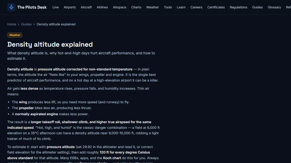
The step-by-step METAR decoding reference from The Pilots Desk walks through all visibility edge cases in detail, including conditions where multiple RVR values appear for different runway touchdown zones.
Cloud Layers: BKN, OVC, FEW and SCT
Cloud coverage uses four standard abbreviations applied in eighths of the sky: FEW means one to two eighths covered, SCT (scattered) means three to four eighths, BKN (broken) means five to seven eighths, and OVC (overcast) means all eight eighths. Heights are reported in hundreds of feet above ground level. BKN015 means a broken ceiling at 1,500 feet AGL.
The lowest BKN or OVC layer defines the ceiling, which is the figure that determines whether conditions are VFR, MVFR, IFR or LIFR. For basic VFR flight in the US, ceilings below 1,000 feet generally push conditions into the IFR/MVFR range where special rules apply. Multiple cloud layers may appear in sequence: a METAR with SCT008 BKN015 OVC025 is telling you there is a thin scattered layer at 800, broken at 1,500, and a complete overcast at 2,500 feet above the airport.
Temperature, Dewpoint and the Spread You Should Watch
Temperature and dewpoint appear together, separated by a slash: 18/15 means temperature 18 degrees Celsius, dewpoint 15 degrees. Temperatures below zero are prefixed with M: M02/M08 is minus 2 Celsius with a minus 8 dewpoint.
The spread between temperature and dewpoint is one of the most useful numbers in the METAR for VFR planning. When the two values converge to within 2 or 3 degrees Celsius, visible moisture (fog, low stratus, or mist) is likely forming or imminent. A 3-degree spread at dawn on a calm, clear night is a strong predictor of radiation fog burning through the morning. A large spread, by contrast, is reassuring for visibility.
Altimeter Setting and What QNH Means
In North American METARs, the altimeter setting appears as a four-digit number prefixed by A, representing inches of mercury: A2992 means 29.92 inHg. This is the value you dial into your altimeter to read correct MSL altitude. Outside North America, the equivalent setting is called QNH and is expressed in hectopascals (millibars).
Getting this figure wrong means your altimeter is inaccurate, and inaccuracy accumulates dangerously when operating near terrain or in controlled airspace with altitude-based separation. The standard practice is to update the altimeter setting at each new airport ATIS or METAR, especially during flights of more than an hour where pressure patterns may have shifted.
Remarks Section: The Hidden Gold at the End
After the altimeter setting, the letters RMK mark the start of the remarks section, an often-overlooked field that can contain some of the most operationally useful information in the entire report. AO2 indicates an automated station equipped with a precipitation discriminator (able to distinguish rain from snow). Pressure tendency codes, peak wind values, variable visibility ranges, lightning observations, and the beginning or ending time of precipitation all appear here.
A peak wind entry like PK WND 32045/1632 tells you that the peak gust since the last METAR was from 320 degrees at 45 knots, observed at 1632Z. If the current METAR shows only a 20-knot wind, that peak wind remark materially changes your crosswind planning. Skipping the remarks section because the earlier fields looked acceptable is a common beginner error that the remarks section, read regularly, quickly corrects.